Hrušov
(Hrušov · Körtvélyes · Hrušov)village · District of Rožňava · Region of Košice
Postcode: 04942 (Drnava)
Overview
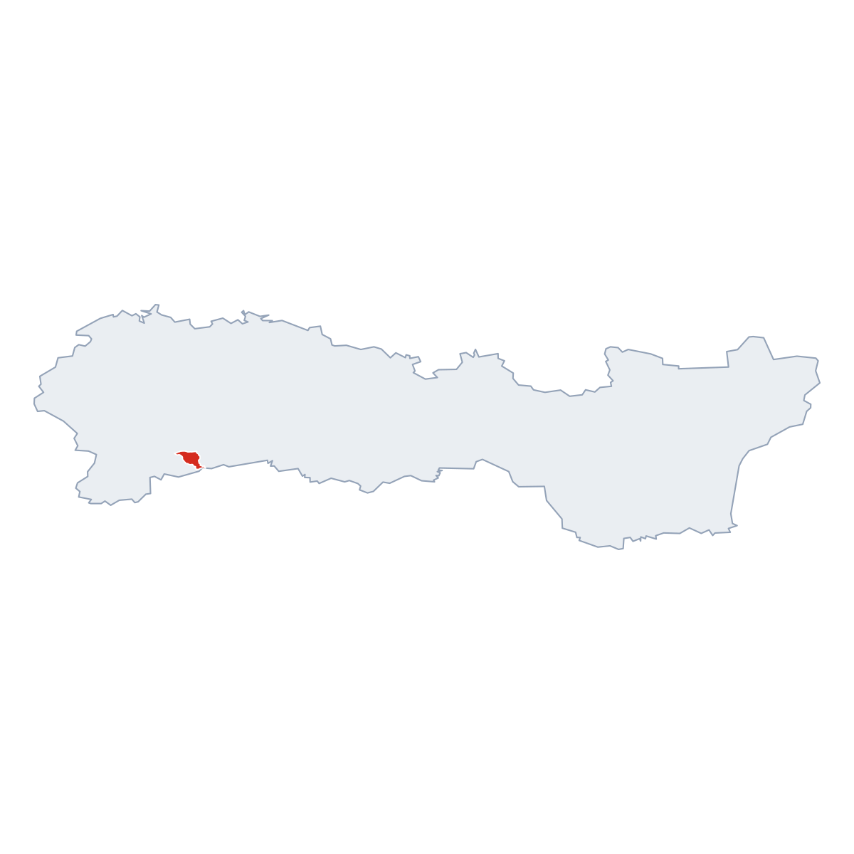
12 nearby placesHrušov is a village, in municipality District of Rožňava. Population: 346. Elevation: 219 m. Postcode: 04942.
City Maps
SVG and PNG downloads
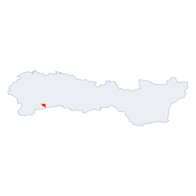

Postcodes
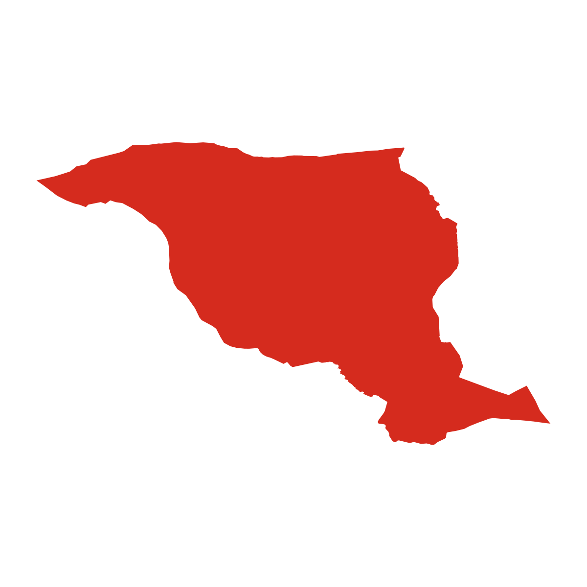
4 postcode zones within HrušovMunicipal seat of Hrušov, covers Hrušov 17 km²: The postcodes are 04942, 04943, 04945, 04952. Combined population: 571 · 840 buildings.
Click a postcode zone on the map for details.
Postal Services
0 facilitiesNo postal services found near Hrušov.
Public Transport
0 stops within HrušovHrušov has public transport connections within the municipality.
Click a route on the map to see details.
Symbols
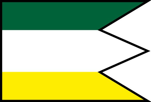
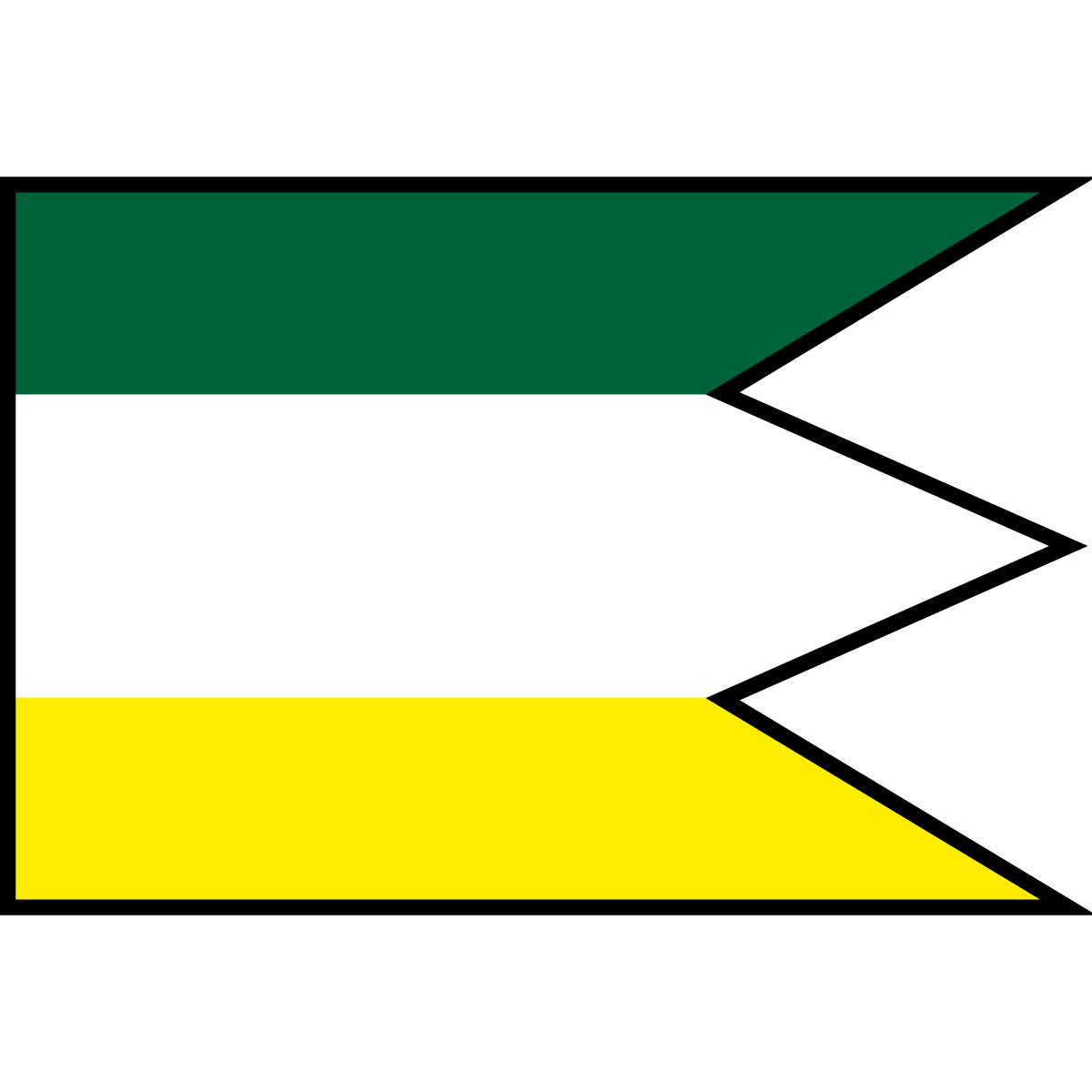
Coat of armsThe official symbols of Hrušov include the coat of arms and flag, both recognised across Slovakia.

Nature Areas
1 nature areaHrušov lies within or overlaps nature area: Nationaal Park Slowaakse Karst.
City Rankings
Among 2780 cities in SlovakiaHrušov ranks 2042th by population (of 2780), 958th by area (of 2938), 1311th by buildings (of 2943) among cities in Slovakia.
Frequently Asked Questions about Hrušov
Quick answers about this placeWhich region is Hrušov in?
Hrušov is located in the region. Region of Košice, municipality District of Rožňava.
What is the postcode of Hrušov?
Hrušov has 4 postcodes: 04942, 04943, 04945, 04952. Slovak postcodes consist of 5 digits.
How many people live in Hrušov?
Hrušov has a population of 346 residents.
What is the elevation of Hrušov?
Hrušov sits at an elevation of 219 m (719 ft) above sea level.
Which municipality is Hrušov in?
Hrušov is located in the municipality of District of Rožňava , which is in the region of Region of Košice.
Is Hrušov a capital city?
Yes, Hrušov serves as the capital of Hrušov (District) .