Jegeneš
(Jegeneš · Jegeneš)hamlet · District of Bratislava II · Region of Bratislava
Postcode: 82106 (Podunajské Biskupice)
Overview
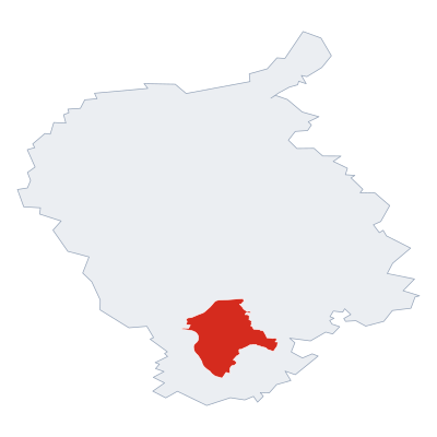
12 nearby places · 3 districtsJegeneš is a hamlet, in municipality District of Bratislava II. Click a district on the map to explore it. Postcode: 82106.
City Maps
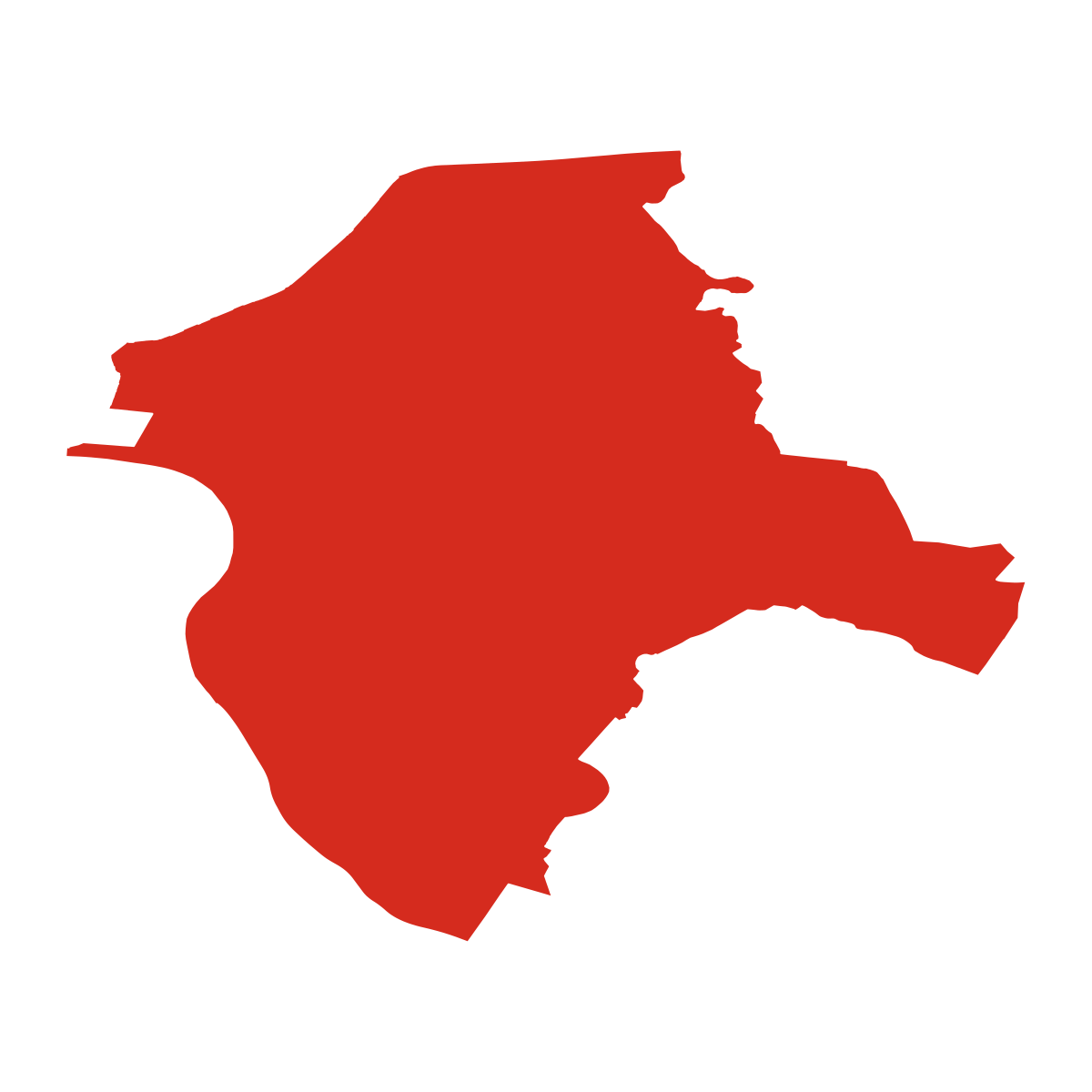
SVG and PNG downloads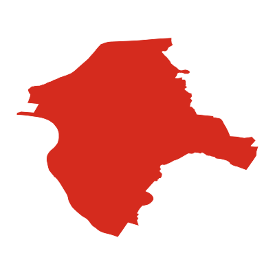


Postcode
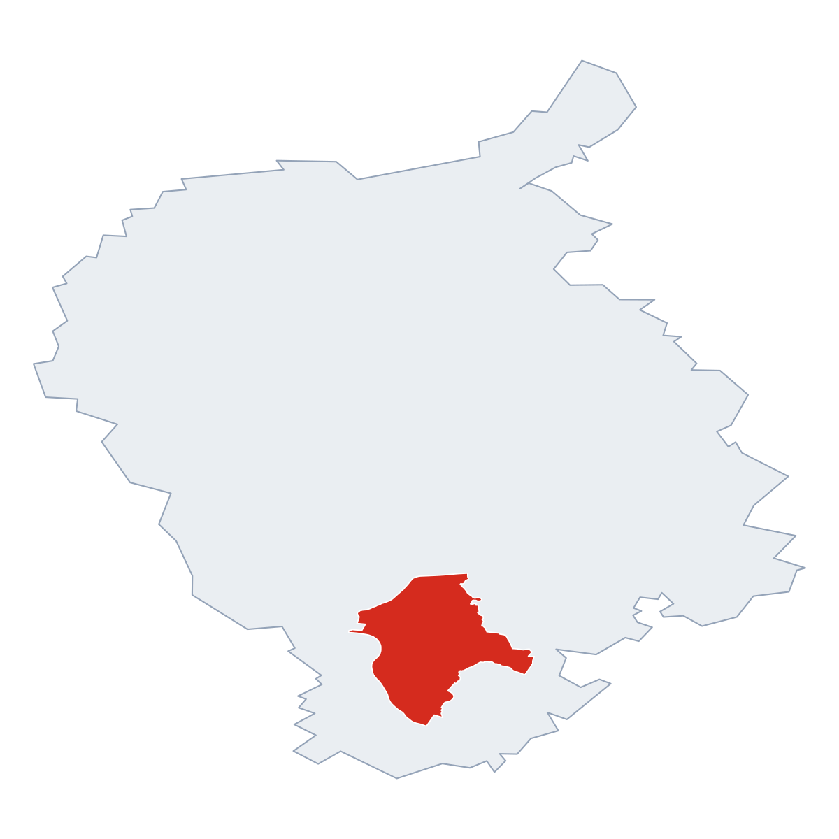
1 postcode zone within District of Bratislava IIDistrict seat of District of Bratislava II, covers Jegeneš 92 km²: The postcode is 82106 (Podunajské Biskupice). Combined population: 1 718 728 · 177 570 buildings.
Click a postcode zone on the map for details.
| Code | Name | Population | Buildings | Area km² | |
|---|---|---|---|---|---|
| 811 04 | - | 993 | 219 | 0.3 km² | View → |
| 811 07 | - | 391 | 100 | 0.1 km² | View → |
| 811 09 | - | 819 | 58 | 0.2 km² | View → |
| 81102 | Staré Mesto | 9 074 | 1 477 | 2.5 km² | View → |
| 81104 | Slavín | 8 647 | 1 878 | 2.4 km² | View → |
| 81106 | - | 2 392 | 610 | 0.6 km² | View → |
| 81107 | - | 4 382 | 292 | 0.7 km² | View → |
| 81108 | - | 1 204 | 366 | 0.4 km² | View → |
| 81109 | - | 2 334 | 325 | 0.6 km² | View → |
| 821 01 | Trávniky | 175 | 52 | 0.2 km² | View → |
| 821 02 | - | 327 | 25 | 0.4 km² | View → |
| 821 03 | - | 95 | 32 | 0.1 km² | View → |
| 821 04 | - | 3 026 | 395 | 2.5 km² | View → |
| 821 05 | - | 980 | 361 | 1.3 km² | View → |
| 821 06 | - | 194 | 14 | 0.6 km² | View → |
| 821 07 | - | 588 | 82 | 0.4 km² | View → |
| 821 08 | Starý Ružinov | 166 | 79 | 0.2 km² | View → |
| 821 09 | Ružová dolina | 1 063 | 248 | 1.4 km² | View → |
| 82101 | - | 3 471 | 555 | 1.9 km² | View → |
| 82102 | Ostredky | 1 287 | 779 | 1.4 km² | View → |
| 82103 | Štrkovec | 876 | 609 | 1.2 km² | View → |
| 82104 | Trnávka | 11 227 | 1 447 | 8.7 km² | View → |
| 82105 | Ružinov | 12 500 | 1 703 | 4.6 km² | View → |
| 82106 CITY | Podunajské Biskupice | 36 030 | 3 493 | 22.5 km² | View → |
| 82107 | Vrakuňa | 55 453 | 4 312 | 41.7 km² | View → |
| 82108 | Nivy | 8 204 | 1 085 | 1.2 km² | View → |
| 82109 | - | 7 504 | 546 | 1.9 km² | View → |
| 830 06 | - | 6 | 5 | 0.1 km² | View → |
| 831 04 | Jurajov dvor | 216 | 41 | 0.5 km² | View → |
| 831 06 | - | 1 183 | 169 | 2.5 km² | View → |
| 831 07 | - | 58 | 55 | 0.7 km² | View → |
| 83101 | Kramáre | 29 147 | 2 628 | 21.5 km² | View → |
| 83102 | Slovany | 1 970 | 987 | 4.4 km² | View → |
| 83103 | Bratislava | 1 258 | 1 446 | 2.4 km² | View → |
| 83104 | Nové Mesto | 2 577 | 743 | 5.8 km² | View → |
| 83106 | Rača | 17 196 | 1 598 | 18.8 km² | View → |
| 83107 | Vajnory | 10 233 | 1 923 | 9.7 km² | View → |
| 85101 | Dvory | 36 153 | 1 278 | 14.7 km² | View → |
| 85104 | - | 8 886 | 416 | 3.6 km² | View → |
| 85106 | Lúky | 4 004 | 194 | 1.6 km² | View → |
| 85107 | Janíkov dvor | 22 206 | 325 | 8.2 km² | View → |
| 85110 | Rusovce | 156 849 | 3 581 | 62.1 km² | View → |
| 900 46 | Most pri Bratislave | 527 | 1 419 | 8.7 km² | View → |
| 90028 | Ivanka pri Dunaji | 7 062 | 3 775 | 20.1 km² | View → |
| 90041 | Rovinka | 1 631 | 3 133 | 8.8 km² | View → |
| 90042 | Miloslavov | 10 198 | 6 648 | 37.1 km² | View → |
| 90043 | Hamuliakovo | 2 336 | 1 963 | 23.9 km² | View → |
| 90046 | Most pri Bratislave | 632 | 450 | 10.4 km² | View → |
Postal Services
12 facilitiesJegeneš has facilities: 1 post office, 11 parcel lockers.
Public Transport
300 stops within District of Bratislava IIJegeneš has public transport connections within the municipality.
Click a route on the map to see details.
City Rankings
Among 2780 cities in SlovakiaJegeneš ranks among cities in Slovakia.
Frequently Asked Questions about Jegeneš
Quick answers about this placeWhich region is Jegeneš in?
Jegeneš is located in the region. Region of Bratislava, municipality District of Bratislava II.
What is the postcode of Jegeneš?
Jegeneš has the postcode 82106 (Podunajské Biskupice). Slovak postcodes consist of 5 digits.
How many people live in Jegeneš?
The postcode area covering Jegeneš has a population of approximately 36 030.
What is the elevation of Jegeneš?
Elevation data for Jegeneš is not currently available.
Which municipality is Jegeneš in?
Jegeneš is located in the municipality of District of Bratislava II , which is in the region of Region of Bratislava.
Are there post offices in Jegeneš?
Jegeneš has 12 postal facilities, including 1 post office, and 11 parcel lockers. The nearest post office is Bratislava 211.
Is there public transport near Jegeneš?
There are 300 stops transit stops near Jegeneš. The closest stops are Bratislava, Autobusová stanica, Pažítková, Autobusová stanica.