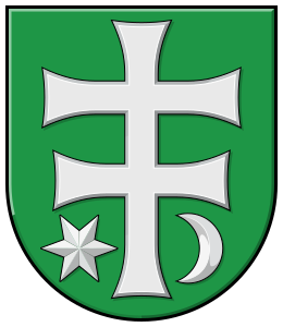
Kostolný Sek
(Kostolný Sek · Egyháznagyszeg · Kostolný Sek)suburb · Šurany · District of Nové Zámky · Region of Nitra
Postcode: 94002 (Nové Zámky)
Overview
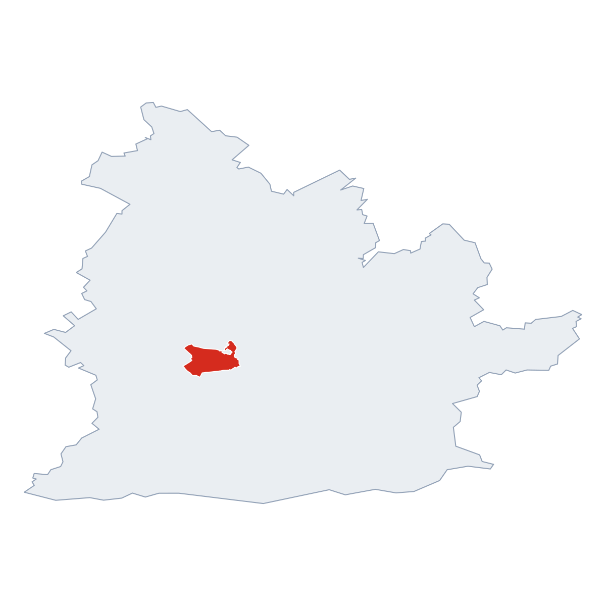
0 quartersKostolný Sek is a quarter of Šurany, in municipality District of Nové Zámky. Click a quarter on the map to explore it. Postcode: 94002.
No other quarters listed.
City Maps
SVG and PNG downloads
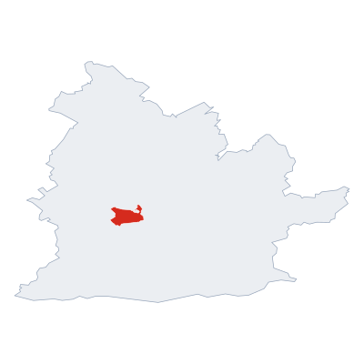

Postcodes
10 postcode zones within ŠuranyMunicipal seat of Šurany, covers Kostolný Sek 60 km²: The postcodes are 94002, 94110, 94201, 94111, 94101, 94106, 94103, 94143, 94102, 94104. Combined population: 12 055 · 3 474 buildings.
Click a postcode zone on the map for details.
| Code | Name | Population | Buildings | Area km² | |
|---|---|---|---|---|---|
| 94002 CITY | Nové Zámky | 43 641 | 9 709 | 72.5 km² | View → |
| 94101 CITY | Bánov | 3 760 | 1 435 | 19.8 km² | View → |
| 94102 CITY | Lipová | 3 546 | 601 | 13.6 km² | View → |
| 94103 CITY | Úľany nad Žitavou | 1 531 | 828 | 8.4 km² | View → |
| 94104 CITY | Mojzesovo | 1 381 | 454 | 7.5 km² | View → |
| 94106 CITY | Komjatice | 4 235 | 1 411 | 30.8 km² | View → |
| 94110 CITY | Tvrdošovce | 6 992 | 3 105 | 93.8 km² | View → |
| 94111 CITY | Palárikovo | 4 440 | 2 302 | 51.3 km² | View → |
| 94143 CITY | Dolný Ohaj | 1 617 | 605 | 17.0 km² | View → |
| 94201 CITY | Šurany | 8 509 | 2 873 | 59.8 km² | View → |
Postal Services
6 facilitiesKostolný Sek has facilities: 2 post offices, 4 letter boxes.
Public Transport
0 stops within ŠuranyKostolný Sek has public transport connections within the municipality.
Click a route on the map to see details.
Symbols
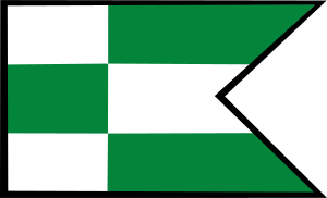
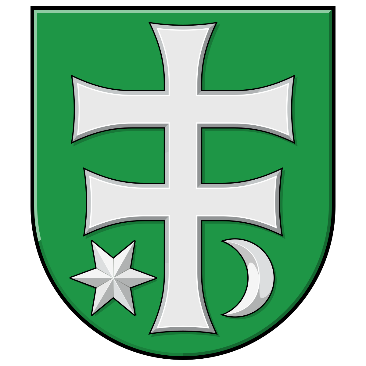
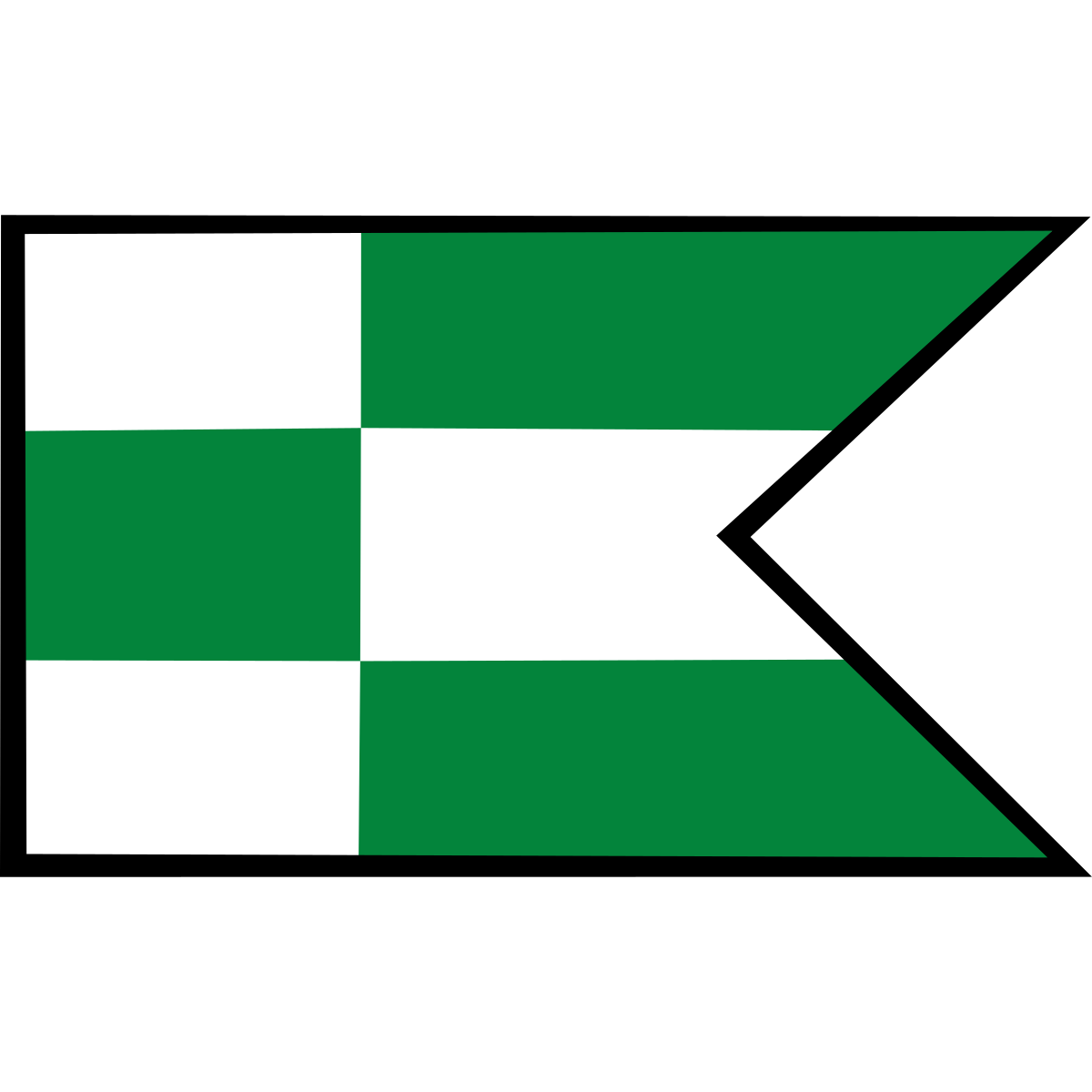
Coat of arms & FlagThe official symbols of Kostolný Sek include the coat of arms and flag, both recognised across Slovakia.


City Rankings
Among 2780 cities in SlovakiaKostolný Sek ranks among cities in Slovakia.
Frequently Asked Questions about Kostolný Sek
Quick answers about this placeWhich region is Kostolný Sek in?
Kostolný Sek is located in the region. Region of Nitra, municipality District of Nové Zámky.
What is the postcode of Kostolný Sek?
Kostolný Sek has 10 postcodes: 94002, 94110, 94201, 94111, 94101, 94106, 94103, 94143, 94102, 94104. Slovak postcodes consist of 5 digits.
How many people live in Kostolný Sek?
The postcode area covering Kostolný Sek has a population of approximately 43 641.
What is the elevation of Kostolný Sek?
Elevation data for Kostolný Sek is not currently available.
Which municipality is Kostolný Sek in?
Kostolný Sek is located in the municipality of District of Nové Zámky , which is in the region of Region of Nitra.
Are there post offices in Kostolný Sek?
Kostolný Sek has 6 postal facilities, including 2 post offices, 4 letter boxes. The nearest post office is Šurany 1.