Mást
(Mást · Mást)suburb · Stupava · District of Malacky · Region of Bratislava
Postcode: 90031 (Stupava)
Overview
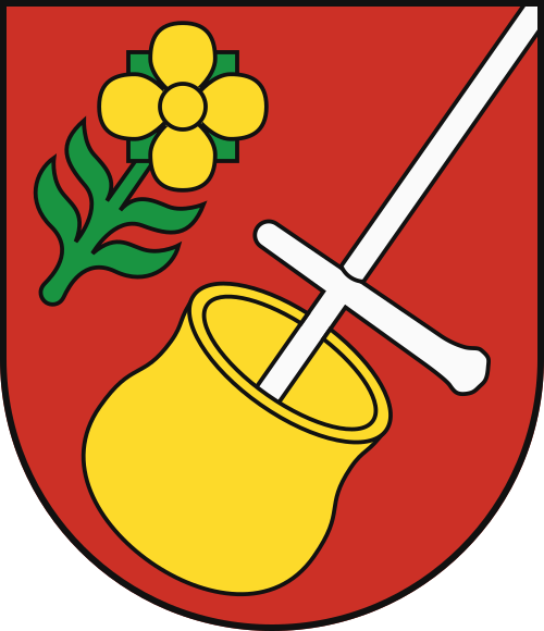
0 quartersMást is a quarter of Stupava, in municipality District of Malacky. Click a quarter on the map to explore it. Postcode: 90031.
No other quarters listed.
City Maps
SVG and PNG downloads


Postcodes
9 postcode zones within StupavaMunicipal seat of Stupava, covers Mást 67 km²: The postcodes are 90031, 84107, 84106, 90051, 90055, 90033, 90066, 90032, 84008. Combined population: 9 302 · 5 302 buildings.
Click a postcode zone on the map for details.
| Code | Name | Population | Buildings | Area km² | |
|---|---|---|---|---|---|
| 84008 CITY | - | 50 | 97 | 1.4 km² | View → |
| 84106 CITY | Záhorská Bystrica | 861 | 1 782 | 24.2 km² | View → |
| 84107 CITY | Devínska Nová Ves | 94 184 | 2 063 | 23.7 km² | View → |
| 90031 CITY | Stupava | 7 088 | 4 802 | 67.4 km² | View → |
| 90032 CITY | Borinka | 2 214 | 500 | 15.8 km² | View → |
| 90033 CITY | Marianka | 1 191 | 1 193 | 3.2 km² | View → |
| 90051 CITY | Zohor | 3 297 | 1 350 | 21.1 km² | View → |
| 90055 CITY | Lozorno | 2 901 | 1 275 | 44.8 km² | View → |
| 90066 CITY | Vysoká pri Morave | 4 000 | 976 | 33.6 km² | View → |
Postal Services
14 facilitiesMást has facilities: 2 post offices, 3 letter boxes, 9 parcel lockers.
Public Transport
18 stops within StupavaMást has public transport connections within the municipality.
Click a route on the map to see details.
Symbols
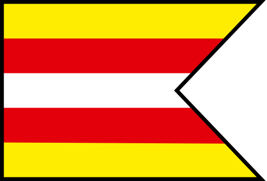
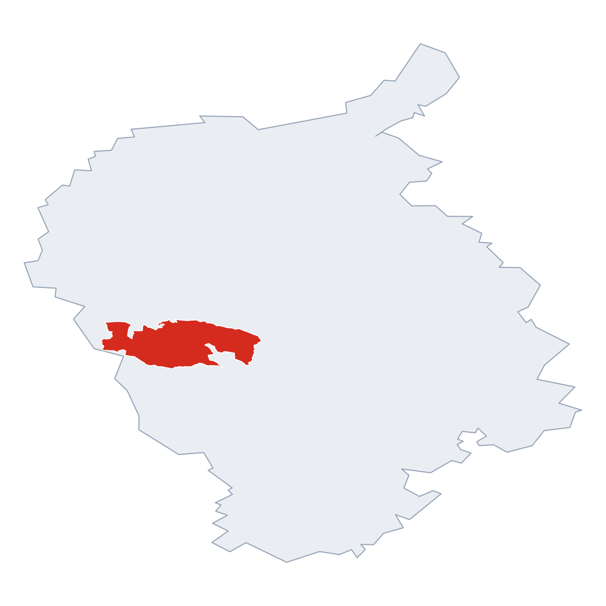
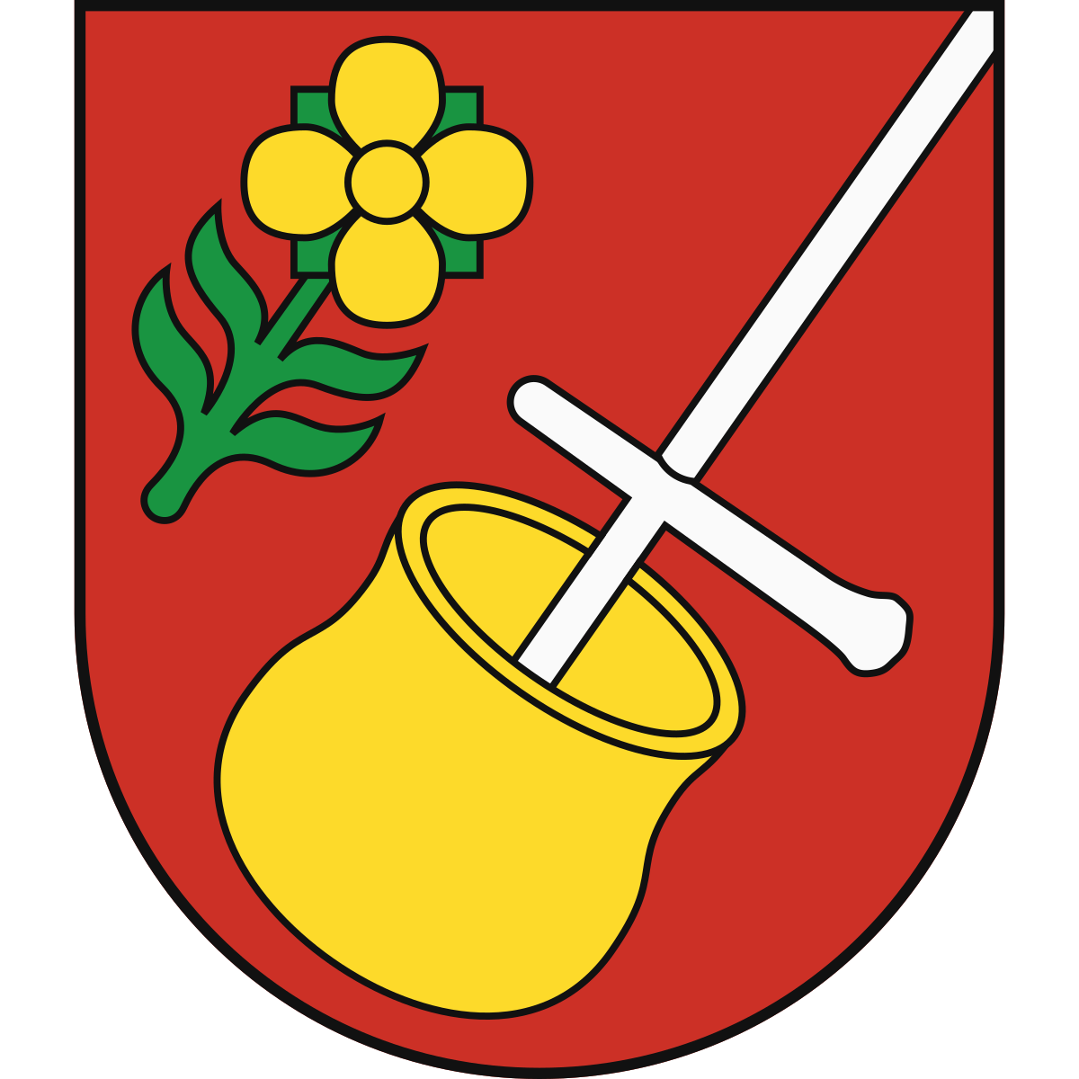
Coat of arms & FlagThe official symbols of Mást include the coat of arms and flag, both recognised across Slovakia.



City Rankings
Among 2780 cities in SlovakiaMást ranks among cities in Slovakia.
Frequently Asked Questions about Mást
Quick answers about this placeWhich region is Mást in?
Mást is located in the region. Region of Bratislava, municipality District of Malacky.
What is the postcode of Mást?
Mást has 9 postcodes: 90031, 84107, 84106, 90051, 90055, 90033, 90066, 90032, 84008. Slovak postcodes consist of 5 digits.
How many people live in Mást?
The postcode area covering Mást has a population of approximately 7 088.
What is the elevation of Mást?
Elevation data for Mást is not currently available.
Which municipality is Mást in?
Mást is located in the municipality of District of Malacky , which is in the region of Region of Bratislava.
Are there post offices in Mást?
Mást has 14 postal facilities, including 2 post offices, 3 letter boxes, and 9 parcel lockers. The nearest post office is Stupava.
What public transport is available in Mást?
Mást is served by 1 line with 18 stops. Services include 1 bus line.