Poša
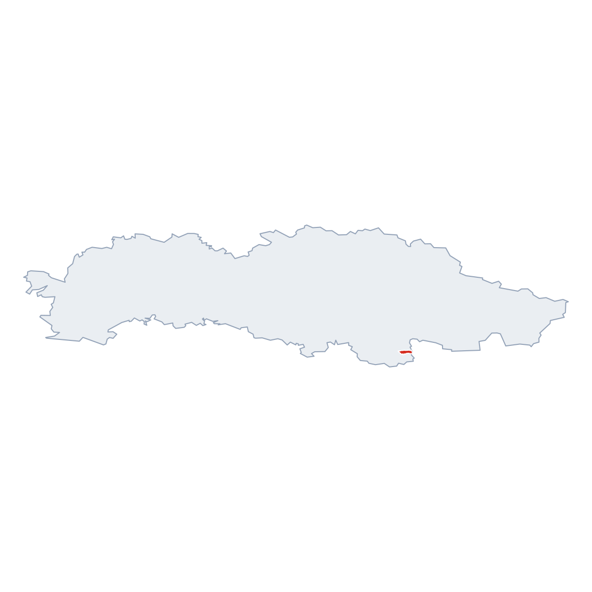
(Poša · Pósa · Poša)village · District of Vranov nad Topľou · Region of Prešov
Postcode: 07222 (Strážske)
Overview
12 nearby placesPoša is a village, in municipality District of Vranov nad Topľou. Population: 844. Elevation: 145 m. Postcode: 07222.
City Maps
SVG and PNG downloads
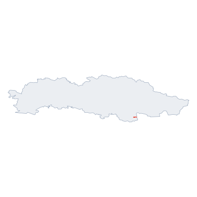

Postcodes
4 postcode zones within PošaMunicipal seat of Poša, covers Poša 8 km²: The postcodes are 07222, 09421, 09413, 09422. Combined population: 2 928 · 852 buildings.
Click a postcode zone on the map for details.
Postal Services
0 facilitiesNo postal services found near Poša.
Public Transport
0 stops within PošaPoša has public transport connections within the municipality.
Click a route on the map to see details.
Symbols
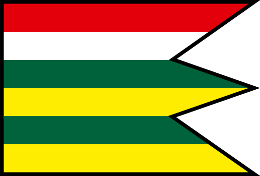
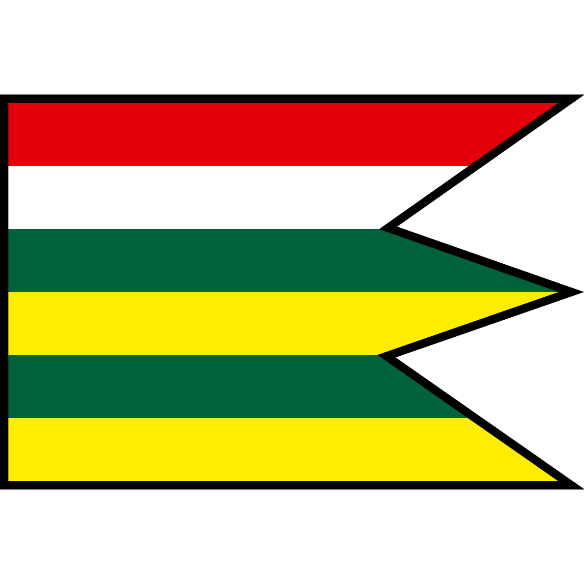
Coat of armsThe official symbols of Poša include the coat of arms and flag, both recognised across Slovakia.


City Rankings
Among 2780 cities in SlovakiaPoša ranks 1109th by population (of 2780), 1982th by area (of 2938), 1649th by buildings (of 2943) among cities in Slovakia.
Frequently Asked Questions about Poša
Quick answers about this placeWhich region is Poša in?
Poša is located in the region. Region of Prešov, municipality District of Vranov nad Topľou.
What is the postcode of Poša?
Poša has 4 postcodes: 07222, 09421, 09413, 09422. Slovak postcodes consist of 5 digits.
How many people live in Poša?
Poša has a population of 844 residents.
What is the elevation of Poša?
Poša sits at an elevation of 145 m (476 ft) above sea level.
Which municipality is Poša in?
Poša is located in the municipality of District of Vranov nad Topľou , which is in the region of Region of Prešov.
Is Poša a capital city?
Yes, Poša serves as the capital of Poša (District) .