Prednádražie
(Prednádražie · Prednádražie)suburb · Trnava · District of Trnava · Region of Trnava
Postcode: 91701 (Trnava)
Overview
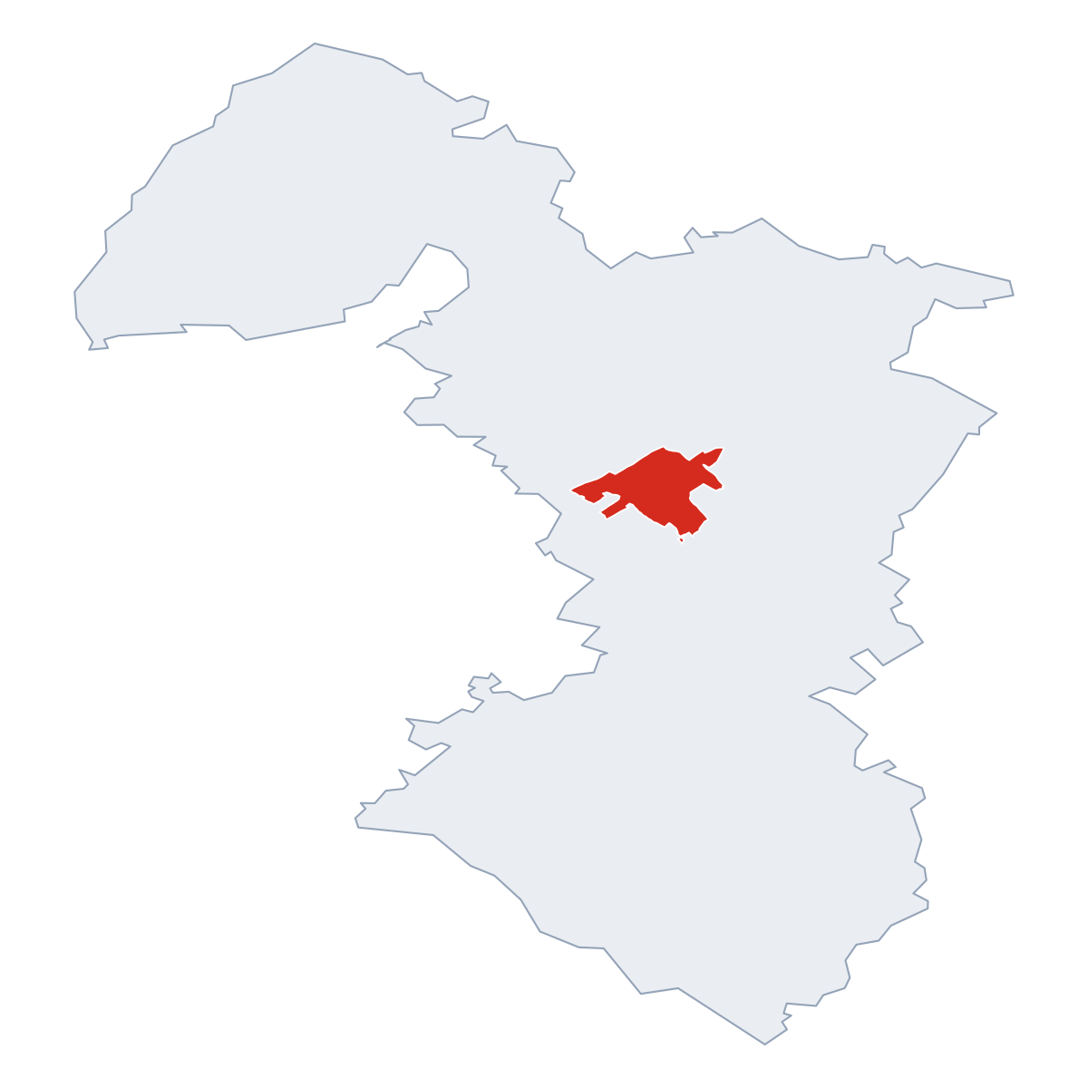
0 quartersPrednádražie is a quarter of Trnava, in municipality District of Trnava. Click a quarter on the map to explore it. Postcode: 91701.
No other quarters listed.
City Maps
SVG and PNG downloads


Postcodes
18 postcode zones within TrnavaMunicipal seat of Trnava, covers Prednádražie 72 km²: The postcodes are 91701, 91901, 91951, 91702, 91708, 91927, 91934, 91705, 91921, 91909, 91935, 91961, 91928, 91926, 91924, 91929, 91923, 917 01. Combined population: 71 484 · 11 719 buildings.
Click a postcode zone on the map for details.
| Code | Name | Population | Buildings | Area km² | |
|---|---|---|---|---|---|
| 917 01 CITY | - | 17 | 12 | 0.0 km² | View → |
| 91701 CITY | Trnava | 36 956 | 6 646 | 49.4 km² | View → |
| 91702 CITY | Linčianska | 2 576 | 1 179 | 3.6 km² | View → |
| 91705 CITY | Modranka | 6 267 | 955 | 8.4 km² | View → |
| 91708 CITY | Za štrekou | 2 130 | 1 121 | 3.0 km² | View → |
| 91901 CITY | Suchá nad Parnou | 3 709 | 1 631 | 44.0 km² | View → |
| 91909 CITY | Bohdanovce nad Trnavou | 1 817 | 835 | 21.6 km² | View → |
| 91921 CITY | Zeleneč | 2 380 | 855 | 11.7 km² | View → |
| 91923 CITY | Vlčkovce | 1 152 | 469 | 12.9 km² | View → |
| 91924 CITY | Križovany nad Dudváhom | 1 829 | 664 | 10.3 km² | View → |
| 91926 CITY | Zavar | 404 | 737 | 13.9 km² | View → |
| 91927 CITY | Brestovany | 2 848 | 1 015 | 22.1 km² | View → |
| 91928 CITY | Bučany | 2 237 | 790 | 16.6 km² | View → |
| 91929 CITY | Malženice | 1 317 | 505 | 14.8 km² | View → |
| 91934 CITY | Biely Kostol | 3 591 | 1 004 | 5.0 km² | View → |
| 91935 CITY | Hrnčiarovce nad Parnou | 2 130 | 804 | 16.3 km² | View → |
| 91951 CITY | Špačince | 2 161 | 1 182 | 22.1 km² | View → |
| 91961 CITY | Ružindol | 19 947 | 802 | 25.3 km² | View → |
Postal Services
22 facilitiesPrednádražie has facilities: 5 post offices, 1 letter box, 16 parcel lockers.
Public Transport
135 stops within TrnavaPrednádražie has public transport connections within the municipality.
Click a route on the map to see details.
Symbols
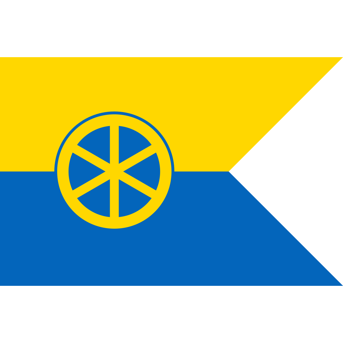
Coat of arms & FlagThe official symbols of Prednádražie include the coat of arms and flag, both recognised across Slovakia.


City Rankings
Among 2780 cities in SlovakiaPrednádražie ranks among cities in Slovakia.
Frequently Asked Questions about Prednádražie
Quick answers about this placeWhich region is Prednádražie in?
Prednádražie is located in the region. Region of Trnava, municipality District of Trnava.
What is the postcode of Prednádražie?
Prednádražie has 18 postcodes: 91701, 91901, 91951, 91702, 91708, 91927, 91934, 91705, 91921, 91909, 91935, 91961, 91928, 91926, 91924, 91929, 91923, 917 01. Slovak postcodes consist of 5 digits.
How many people live in Prednádražie?
The postcode area covering Prednádražie has a population of approximately 36 956.
What is the elevation of Prednádražie?
Elevation data for Prednádražie is not currently available.
Which municipality is Prednádražie in?
Prednádražie is located in the municipality of District of Trnava , which is in the region of Region of Trnava.
Are there post offices in Prednádražie?
Prednádražie has 22 postal facilities, including 5 post offices, 1 letter box, and 16 parcel lockers. The nearest post office is Trnava 1.
What public transport is available in Prednádražie?
Prednádražie is served by 2 lines with 135 stops. Services include 2 bus lines.