U Jeleňa
(U Jeleňa)hamlet · Čierne · District of Čadca · Region of Žilina
Postcode: 02201 (Čadca)
Overview
12 nearby placesU Jeleňa is a hamlet in municipality Čierne, in municipality District of Čadca. Postcode: 02201.
City Maps
SVG and PNG downloads
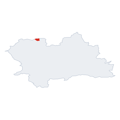

Postcodes
6 postcode zones within ČierneMunicipal seat of Čierne, covers U Jeleňa 21 km²: The postcodes are 02201, 02314, 023 13, 02312, 022 01, 73998. Combined population: 4 402 · 1 268 buildings.
Click a postcode zone on the map for details.
| Code | Name | Population | Buildings | Area km² | |
|---|---|---|---|---|---|
| 022 01 CITY | Kadlubcovci | 8 164 | 714 | 16.2 km² | View → |
| 02201 CITY | Čadca | 21 173 | 3 240 | 37.2 km² | View → |
| 023 13 CITY | Čierne | 4 402 | 1 268 | 20.8 km² | View → |
| 02312 CITY | Svrčinovec | 3 452 | 971 | 15.7 km² | View → |
| 02314 CITY | Skalité | 5 183 | 1 645 | 33.2 km² | View → |
| 73998 CITY | Hrčava | 278 | 92 | 2.9 km² | View → |
Postal Services
6 facilitiesU Jeleňa has facilities: 2 post offices, 1 letter box, 3 parcel lockers.
Public Transport
4 stops within ČierneU Jeleňa has public transport connections within the municipality.
Click a route on the map to see details.
Symbols
Coat of armsThe official symbols of U Jeleňa include the coat of arms and flag, both recognised across Slovakia.


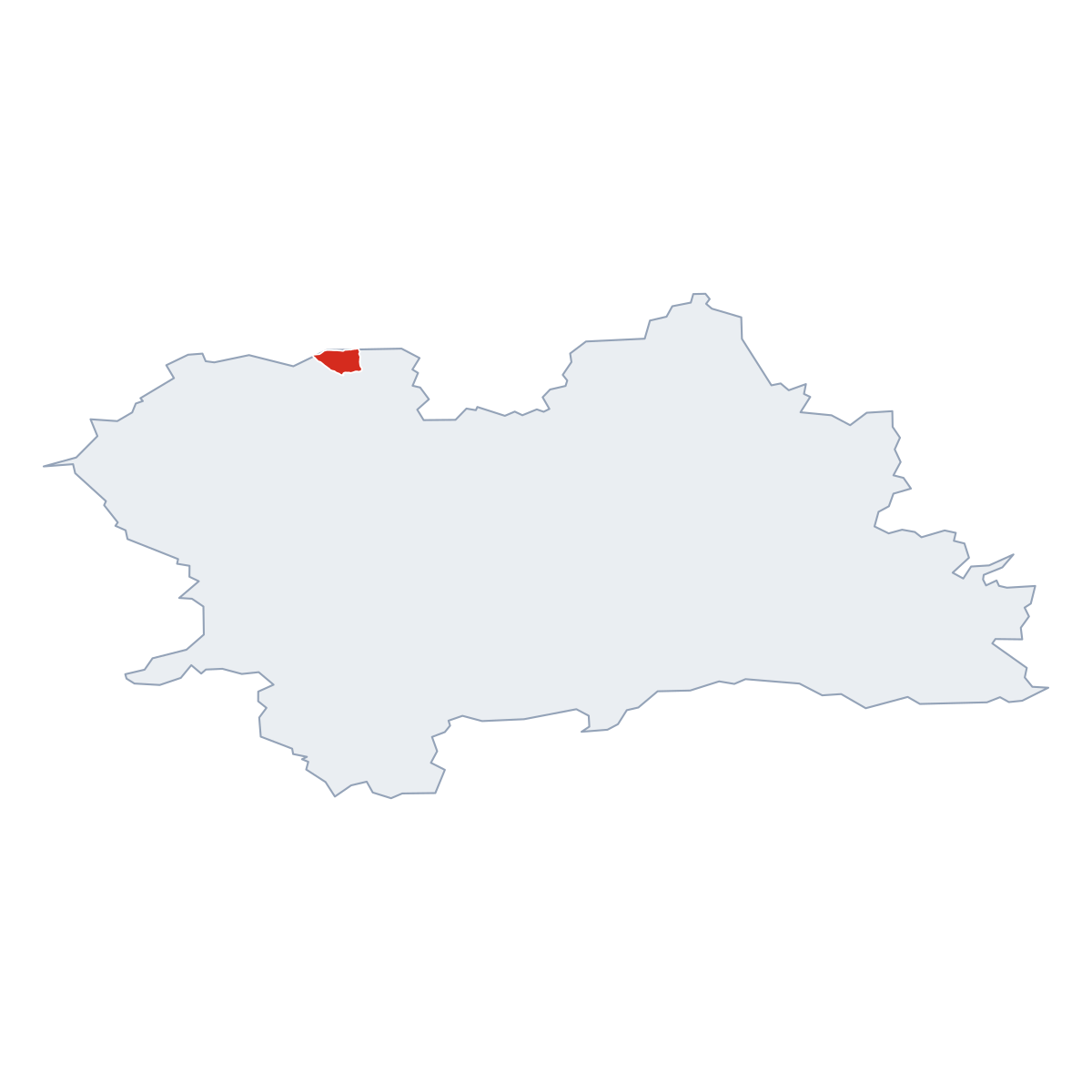


City Rankings
Among 2780 cities in SlovakiaU Jeleňa ranks among cities in Slovakia.
Frequently Asked Questions about U Jeleňa
Quick answers about this placeWhich region is U Jeleňa in?
U Jeleňa is located in the region. Region of Žilina, municipality District of Čadca.
What is the postcode of U Jeleňa?
U Jeleňa has 6 postcodes: 02201, 02314, 023 13, 02312, 022 01, 73998. Slovak postcodes consist of 5 digits.
How many people live in U Jeleňa?
The postcode area covering U Jeleňa has a population of approximately 21 173.
What is the elevation of U Jeleňa?
Elevation data for U Jeleňa is not currently available.
Which municipality is U Jeleňa in?
U Jeleňa is located in the municipality of District of Čadca , which is in the region of Region of Žilina.
Are there post offices in U Jeleňa?
U Jeleňa has 6 postal facilities, including 2 post offices, 1 letter box, and 3 parcel lockers. The nearest post office is Svrčinovec (~4786 m away).
Is there public transport near U Jeleňa?
There are 4 stops transit stops near U Jeleňa. The closest stops are Čierne, konečná, Čierne, Ondráši, Čierne, Pavloška.