Záhorie
(Záhorie · Záhorie)village · Záhorie (vojenský obvod) · District of Malacky · Region of Bratislava
Postcode: 90201 (Pezinok)
Overview
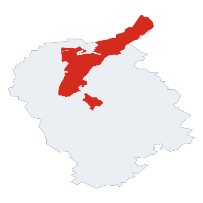
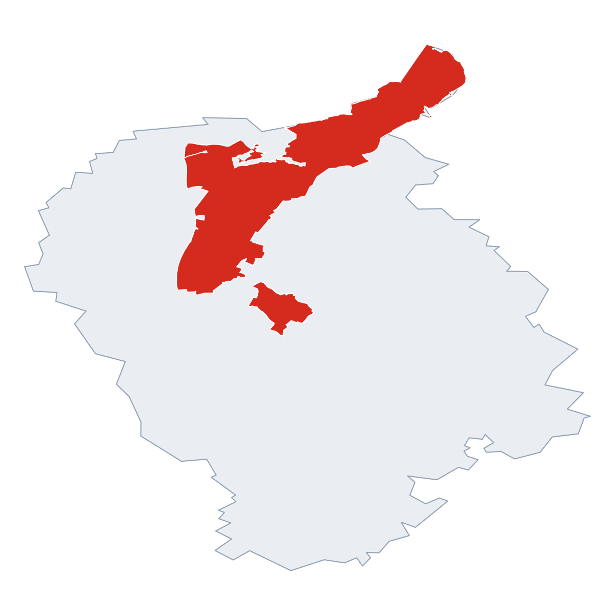
12 nearby places · 3 districtsZáhorie is a village in municipality Záhorie (vojenský obvod), in municipality District of Malacky. Click a district on the map to explore it. Postcode: 90201.
City Maps
SVG and PNG downloads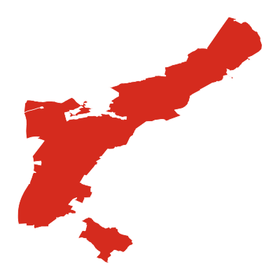



Postcodes
20 postcode zones within Záhorie (vojenský obvod)Municipal seat of Záhorie (vojenský obvod), covers Záhorie 276 km²: The postcodes are 90201, 90101, 90877, 90873, 90055, 90872, 90068, 90091, 90638, 90875, 90052, 90635, 90633, 90637, 90876, 90054, 90631, 90634, 90053, 90636. Combined population: 79 078 · 19 620 buildings.
Click a postcode zone on the map for details.
| Code | Name | Population | Buildings | Area km² | |
|---|---|---|---|---|---|
| 90052 CITY | Kuchyňa | 1 691 | 783 | 45.1 km² | View → |
| 90053 CITY | Pernek | 824 | 416 | 27.3 km² | View → |
| 90054 CITY | Jablonové | 1 112 | 625 | 13.2 km² | View → |
| 90055 CITY | Lozorno | 2 901 | 1 275 | 44.8 km² | View → |
| 90068 CITY | Plavecký Štvrtok | 1 098 | 1 125 | 24.2 km² | View → |
| 90091 CITY | Limbach | 3 713 | 924 | 15.3 km² | View → |
| 90101 CITY | Malacky | 17 887 | 4 507 | 303.4 km² | View → |
| 90201 CITY | Pezinok | 203 818 | 4 956 | 78.0 km² | View → |
| 90631 CITY | Hlboké | 6 320 | 472 | 20.1 km² | View → |
| 90633 CITY | Cerová | 1 819 | 703 | 21.9 km² | View → |
| 90634 CITY | Prievaly | 930 | 440 | 15.0 km² | View → |
| 90635 CITY | Plavecký Mikuláš | 1 119 | 775 | 41.5 km² | View → |
| 90636 CITY | Plavecké Podhradie | 735 | 395 | 21.1 km² | View → |
| 90637 CITY | Sološnica | 1 544 | 679 | 37.8 km² | View → |
| 90638 CITY | Rohožník | 3 765 | 796 | 27.4 km² | View → |
| 90872 CITY | Závod | 2 708 | 1 171 | 27.4 km² | View → |
| 90873 CITY | Veľké Leváre | 3 575 | 1 423 | 26.4 km² | View → |
| 90875 CITY | Studienka | 3 266 | 788 | 16.8 km² | View → |
| 90876 CITY | Lakšárska Nová Ves | 1 085 | 638 | 36.9 km² | View → |
| 90877 CITY | Borský Mikuláš | 4 121 | 2 110 | 54.0 km² | View → |
Postal Services
0 facilitiesNo postal services found near Záhorie.
Public Transport
13 stops within Záhorie (vojenský obvod)Záhorie has public transport connections within the municipality.
Click a route on the map to see details.
City Rankings
Among 2780 cities in SlovakiaZáhorie ranks , 2th by area (of 2938), 2133th by buildings (of 2943) among cities in Slovakia.
Frequently Asked Questions about Záhorie
Quick answers about this placeWhich region is Záhorie in?
Záhorie is located in the region. Region of Bratislava, municipality District of Malacky.
What is the postcode of Záhorie?
Záhorie has 20 postcodes: 90201, 90101, 90877, 90873, 90055, 90872, 90068, 90091, 90638, 90875, 90052, 90635, 90633, 90637, 90876, 90054, 90631, 90634, 90053, 90636. Slovak postcodes consist of 5 digits.
How many people live in Záhorie?
The postcode area covering Záhorie has a population of approximately 203 818.
What is the elevation of Záhorie?
Elevation data for Záhorie is not currently available.
Which municipality is Záhorie in?
Záhorie is located in the municipality of District of Malacky , which is in the region of Region of Bratislava.
Is Záhorie a capital city?
Yes, Záhorie serves as the capital of Záhorie (vojenský obvod) (District) .
Is there public transport near Záhorie?
There are 13 stops transit stops near Záhorie. The closest stops are Pernek, Hájovňa, Kuchyňa, Letecká základňa, Malacky, Červený kríž.