Žarnovická Huta
(Žarnovická Huta · Žarnovická Huta)hamlet · Žarnovica · District of Žarnovica · Region of Banská Bystrica
Postcode: 96801 (Nová Baňa)
Overview
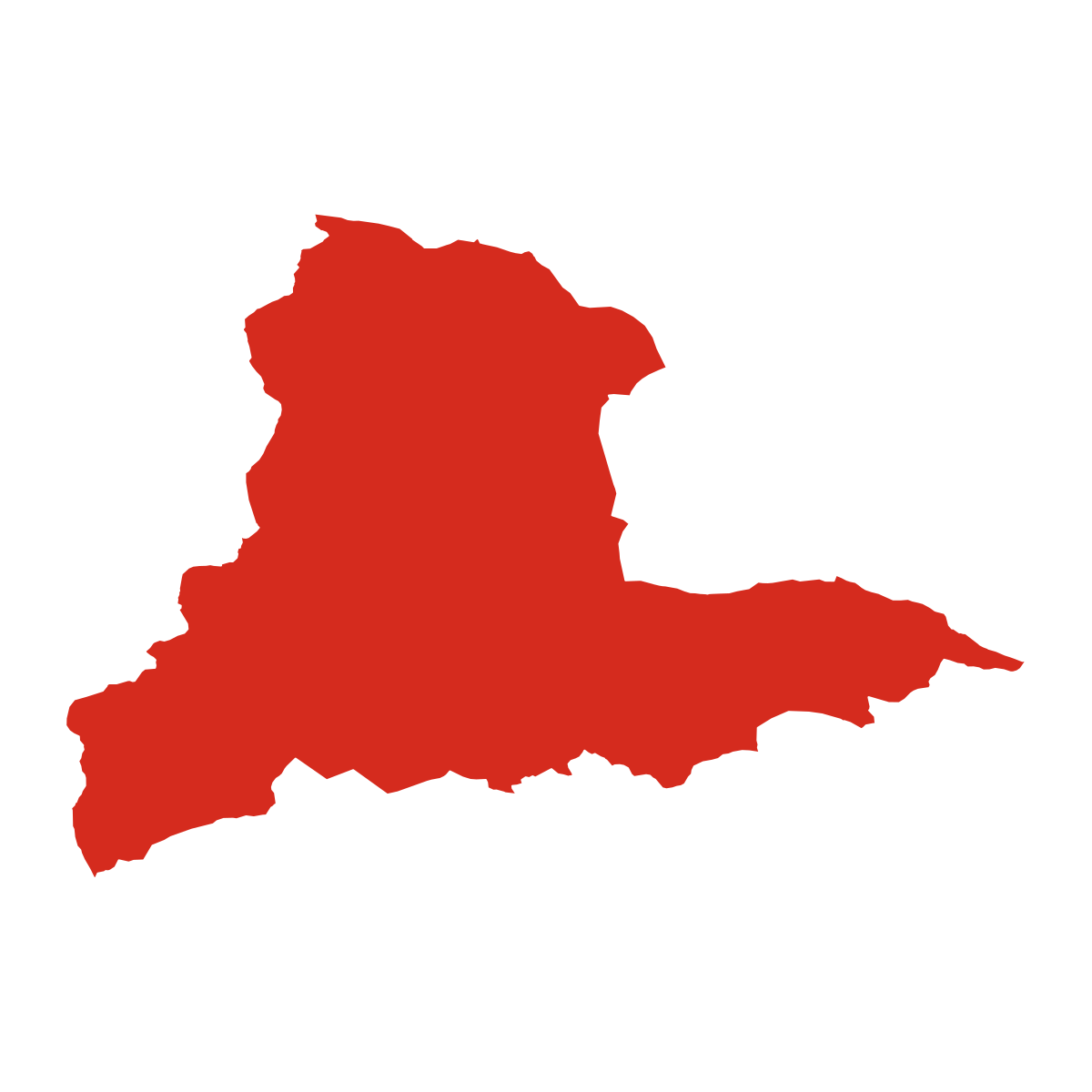
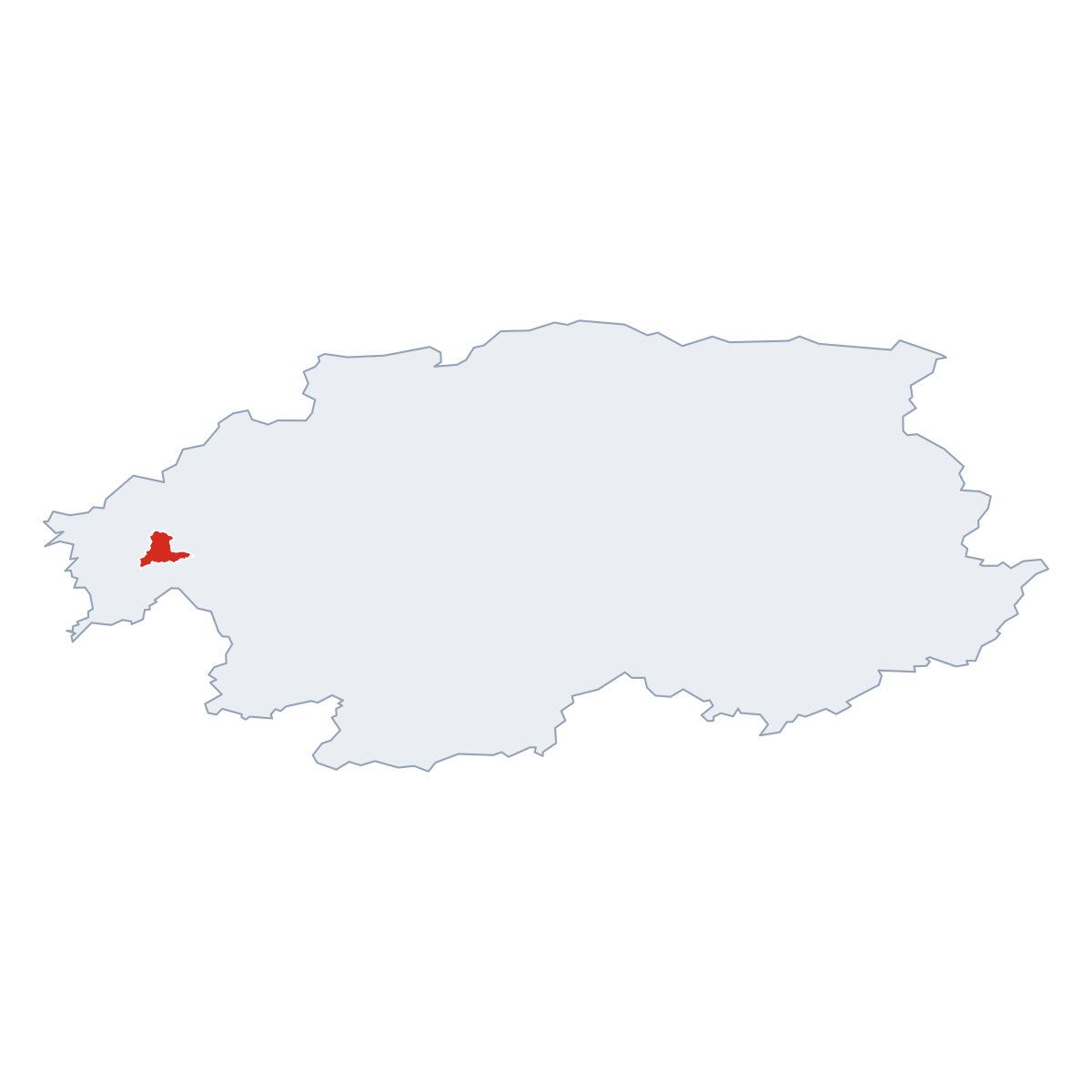
12 nearby places · 1 districtŽarnovická Huta is a hamlet in municipality Žarnovica, in municipality District of Žarnovica. Click a district on the map to explore it. Postcode: 96801.
City Maps
SVG and PNG downloads

Postcodes
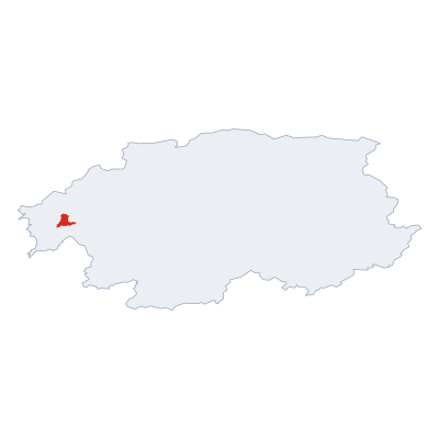
8 postcode zones within ŽarnovicaMunicipal seat of Žarnovica, covers Žarnovická Huta 30 km²: The postcodes are 96801, 96681, 96601, 96661, 96671, 96602, 96651, 96678. Combined population: 18 700 · 4 942 buildings.
Click a postcode zone on the map for details.
| Code | Name | Population | Buildings | Area km² | |
|---|---|---|---|---|---|
| 96601 CITY | Dolná Ždaňa | 1 924 | 1 770 | 58.2 km² | View → |
| 96602 CITY | Vyhne | 1 387 | 619 | 18.3 km² | View → |
| 96651 CITY | Rudno nad Hronom | 514 | 255 | 19.3 km² | View → |
| 96661 CITY | Hodruša-Hámre | 801 | 791 | 36.6 km² | View → |
| 96671 CITY | Župkov | 812 | 718 | 30.0 km² | View → |
| 96678 CITY | Hrabičov | 618 | 253 | 13.2 km² | View → |
| 96681 CITY | Žarnovica | 9 350 | 2 471 | 73.2 km² | View → |
| 96801 CITY | Nová Baňa | 8 736 | 3 908 | 73.6 km² | View → |
Postal Services
2 facilitiesŽarnovická Huta has facilities: 1 post office, 1 letter box.
Public Transport
2 stops within ŽarnovicaŽarnovická Huta has public transport connections within the municipality.
Click a route on the map to see details.
Symbols
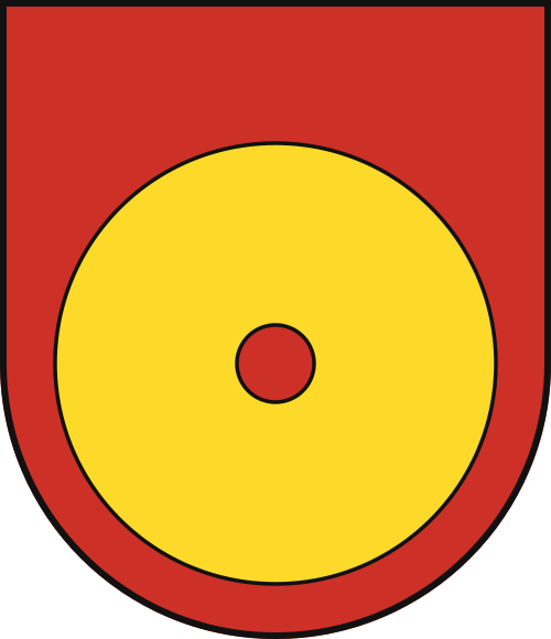
Coat of arms & FlagThe official symbols of Žarnovická Huta include the coat of arms and flag, both recognised across Slovakia.



City Rankings
Among 2780 cities in SlovakiaŽarnovická Huta ranks among cities in Slovakia.
Frequently Asked Questions about Žarnovická Huta
Quick answers about this placeWhich region is Žarnovická Huta in?
Žarnovická Huta is located in the region. Region of Banská Bystrica, municipality District of Žarnovica.
What is the postcode of Žarnovická Huta?
Žarnovická Huta has 8 postcodes: 96801, 96681, 96601, 96661, 96671, 96602, 96651, 96678. Slovak postcodes consist of 5 digits.
How many people live in Žarnovická Huta?
The postcode area covering Žarnovická Huta has a population of approximately 8 736.
What is the elevation of Žarnovická Huta?
Elevation data for Žarnovická Huta is not currently available.
Which municipality is Žarnovická Huta in?
Žarnovická Huta is located in the municipality of District of Žarnovica , which is in the region of Region of Banská Bystrica.
Are there post offices in Žarnovická Huta?
Žarnovická Huta has 2 postal facilities, including 1 post office, 1 letter box. The nearest post office is Žarnovica.
Is there public transport near Žarnovická Huta?
There are 2 stops transit stops near Žarnovická Huta. The closest stops are Žarnovica, motel Sitno, Žarnovica, motel Sitno.