District of Brezno
(okres Brezno · okres Brezno · Breznóbányai járás)Municipality of Slovakia · Region of Banská Bystrica
Main town: Brezno
Cities & Towns
61 places totalDistrict of Brezno covers 1 266 km² divided into 30 municipalities. The main town is Brezno.The municipality has a population of 67 565, with a density of 53 people per km².
31 more places in District of Brezno not shown.
Municipality Maps
SVG and PNG downloads

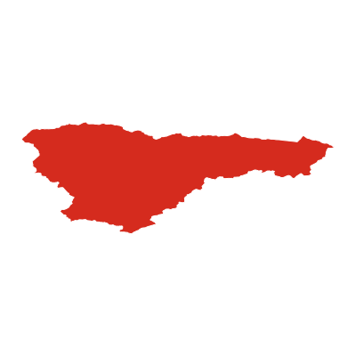


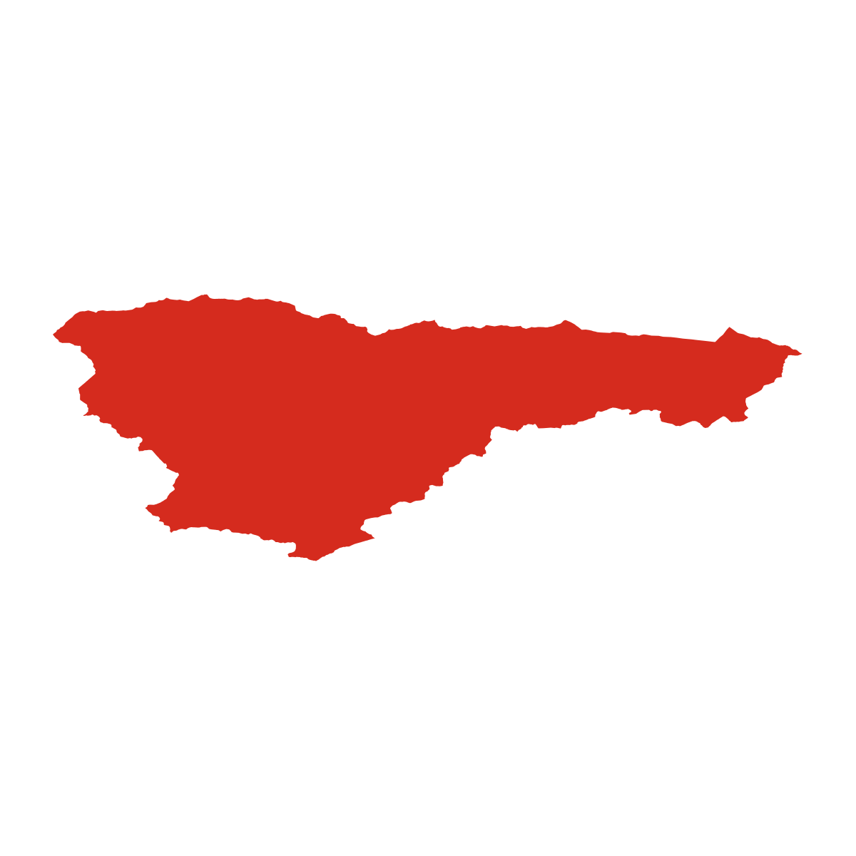
Municipalities
30 municipalitiesDistrict of Brezno is divided into 30 municipalities. The largest by area is Čierny Balog (147 km²) and the smallest is Drábsko (5 km²). Brezno has the highest building density, with 7 627 buildings.
| Municipality | Population | Area km² | Buildings | Postcodes | |
|---|---|---|---|---|---|
| Bacúch | 1 024 | 38 | 1 188 | 1 | View → |
| Beňuš | 1 171 | 27 | 1 117 | 2 | View → |
| Braväcovo | - | 29 | 674 | 1 | View → |
| Brezno | 22 116 | 122 | 7 627 | 6 | View → |
| Bystrá | 188 | 16 | 349 | 1 | View → |
| Dolná Lehota | 730 | 56 | 750 | 1 | View → |
| Drábsko | 223 | 5 | 438 | 1 | View → |
| Heľpa | 2 890 | 42 | 1 771 | 2 | View → |
| Horná Lehota | 583 | 46 | 1 357 | 3 | View → |
| Hronec | 1 170 | 35 | 1 384 | 2 | View → |
| Jarabá | 44 | 15 | 215 | 1 | View → |
| Jasenie | 1 105 | 86 | 1 384 | 1 | View → |
| Lom nad Rimavicou | 300 | 17 | 416 | 1 | View → |
| Michalová | 1 401 | 14 | 1 290 | 2 | View → |
| Mýto pod Ďumbierom | 537 | 10 | 907 | 2 | View → |
| Nemecká | 1 850 | 25 | 1 616 | 1 | View → |
| Osrblie | 388 | 24 | 571 | 1 | View → |
| Podbrezová | 4 135 | 19 | 1 819 | 3 | View → |
| Pohorelá | 2 454 | 47 | 1 936 | 1 | View → |
| Pohronská Polhora | 1 651 | 36 | 1 418 | 3 | View → |
| Polomka | 3 120 | 94 | 2 634 | 3 | View → |
| Predajná | 1 368 | 23 | 1 005 | 2 | View → |
| Ráztoka | 293 | 8 | 376 | - | View → |
| Sihla | 202 | 27 | 286 | 1 | View → |
| Telgárt | 1 529 | 56 | 1 353 | 2 | View → |
| Valaská | 7 746 | 63 | 2 107 | 6 | View → |
| Vaľkovňa | 365 | 15 | 318 | 1 | View → |
| Závadka nad Hronom | 2 479 | 41 | 1 024 | 2 | View → |
| Čierny Balog | 5 144 | 147 | 3 007 | 1 | View → |
| Šumiac | 1 359 | 82 | 1 290 | 2 | View → |
Postcodes
23 postcodesDistrict of Brezno has 23 postcode areas covering 5 551 km² with 99 786 buildings. District of Brezno uses 9 - postcodes in District of Brezno start with (this zone). The postcode with the most buildings is 97701 (Brezno) (3 702 buildings).
| # | Code / Name | Population | Area | Buildings | |
|---|---|---|---|---|---|
| 1 | 97701 | 21 528 | 145.0 km² | 3 702 | View → |
| 2 | 97652 | 7 528 | 147.12 km² | 2 017 | View → |
| 3 | 97681 | 4 665 | 59.45 km² | 1 068 | View → |
| 4 | 97664 | 3 049 | 94.4 km² | 517 | View → |
| 5 | 97668 | 2 890 | 41.72 km² | 991 | View → |
| 6 | 97657 | 2 867 | 15.68 km² | 485 | View → |
| 7 | 97669 | 2 819 | 61.81 km² | 932 | View → |
| 8 | 97667 | 2 479 | 41.19 km² | 655 | View → |
| 9 | 97653 | 2 396 | 44.23 km² | 297 | View → |
| 10 | 97656 | 2 122 | 35.76 km² | 611 | View → |
District of Brezno has 29 postal facilities 20 post offices, 5 letter boxes, 4 parcel lockers.
Transport
0 lines across 0 routesClick a route on the map to see details.
District of Brezno has a public transport network of 0 km with 0 transit lines and 0 routes.
Full transport overviewPopulation & Building Density
By municipalityHover over a municipality to see its density figures.
Municipality Rankings
Top & bottom by key metricsBy Population
By Area
By Buildings
By Pop. Density
| # | Municipality | Population | Area km² | Population & Building Density (res/km²) |
|---|---|---|---|---|
| 1 | Podbrezová | 4 135 | 18.6 km² | 222 |
| 2 | Brezno | 22 116 | 122.0 km² | 181 |
| 3 | Valaská | 7 746 | 63.3 km² | 122 |
| 4 | Michalová | 1 401 | 14.3 km² | 98 |
| 5 | Nemecká | 1 850 | 24.6 km² | 75 |
| 6 | Heľpa | 2 890 | 41.7 km² | 69 |
| 7 | Závadka nad Hronom | 2 479 | 41.2 km² | 60 |
| 8 | Predajná | 1 368 | 23.2 km² | 59 |
| 9 | Pohorelá | 2 454 | 47.0 km² | 52 |
| 10 | Mýto pod Ďumbierom | 537 | 10.4 km² | 51 |
| 11 | Drábsko | 223 | 4.8 km² | 46 |
| 12 | Pohronská Polhora | 1 651 | 35.8 km² | 46 |
| 13 | Beňuš | 1 171 | 26.8 km² | 43 |
| 14 | Ráztoka | 293 | 8.1 km² | 36 |
| 15 | Čierny Balog | 5 144 | 147.1 km² | 35 |
| 16 | Polomka | 3 120 | 94.0 km² | 33 |
| 17 | Hronec | 1 170 | 35.2 km² | 33 |
| 18 | Telgárt | 1 529 | 56.0 km² | 27 |
| 19 | Bacúch | 1 024 | 38.2 km² | 26 |
| 20 | Vaľkovňa | 365 | 14.9 km² | 24 |
| 21 | Lom nad Rimavicou | 300 | 17.4 km² | 17 |
| 22 | Šumiac | 1 359 | 81.8 km² | 16 |
| 23 | Osrblie | 388 | 24.0 km² | 16 |
| 24 | Dolná Lehota | 730 | 55.5 km² | 13 |
| 25 | Jasenie | 1 105 | 86.3 km² | 12 |
| 26 | Horná Lehota | 583 | 45.9 km² | 12 |
| 27 | Bystrá | 188 | 15.9 km² | 11 |
| 28 | Sihla | 202 | 26.8 km² | 7 |
| 29 | Jarabá | 44 | 15.4 km² | 2 |
National Parks & Protected Areas
3 parks{district} is home to or borders {n} protected nature area{s}.
Frequently Asked Questions about District of Brezno
Quick answers about this municipalityWhat is the main town of District of Brezno?
The main town of District of Brezno is Brezno with a population of 22,116.
Which region is District of Brezno in?
District of Brezno is in the Region of Banská Bystrica region.
Is District of Brezno a municipality or a city?
District of Brezno is an administrative municipality in the Region of Banská Bystrica region. Its main town is Brezno.
How many people live in District of Brezno?
District of Brezno has a population of 67 565, with a density of 53 people per km².
How large is District of Brezno?
District of Brezno covers an area of 1 266 km² (489 sq mi).
How many municipalities are in District of Brezno?
District of Brezno is divided into 30 municipalities. These include: Čierny Balog, Brezno, Polomka, Jasenie, Šumiac, Valaská, Telgárt, Dolná Lehota and 22 more.
What postcodes are in District of Brezno?
District of Brezno has 23 postcode areas with prefixs 9.
How many buildings are in District of Brezno?
District of Brezno contains 41 627 mapped buildings, a density of 33 per km².