District of Dolný Kubín
(okres Dolný Kubín · okres Dolný Kubín · Bezirk Unterkubin)Municipality of Slovakia · Region of Žilina
Main town: Dolný Kubín
Cities & Towns
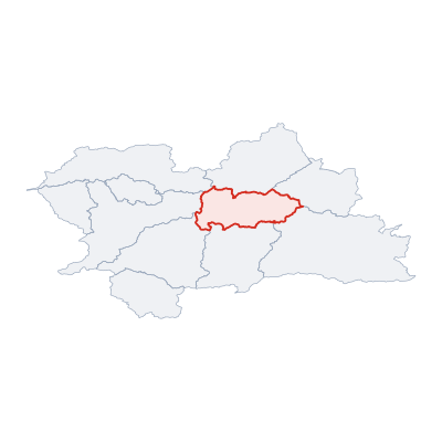
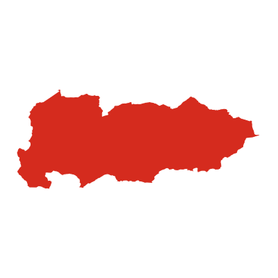
45 places totalDistrict of Dolný Kubín covers 492 km² divided into 24 municipalities. The main town is Dolný Kubín.The municipality has a population of 39 435, with a density of 80 people per km².
15 more places in District of Dolný Kubín not shown.
Municipality Maps
SVG and PNG downloads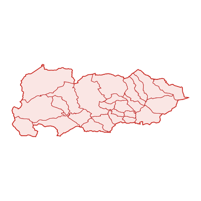
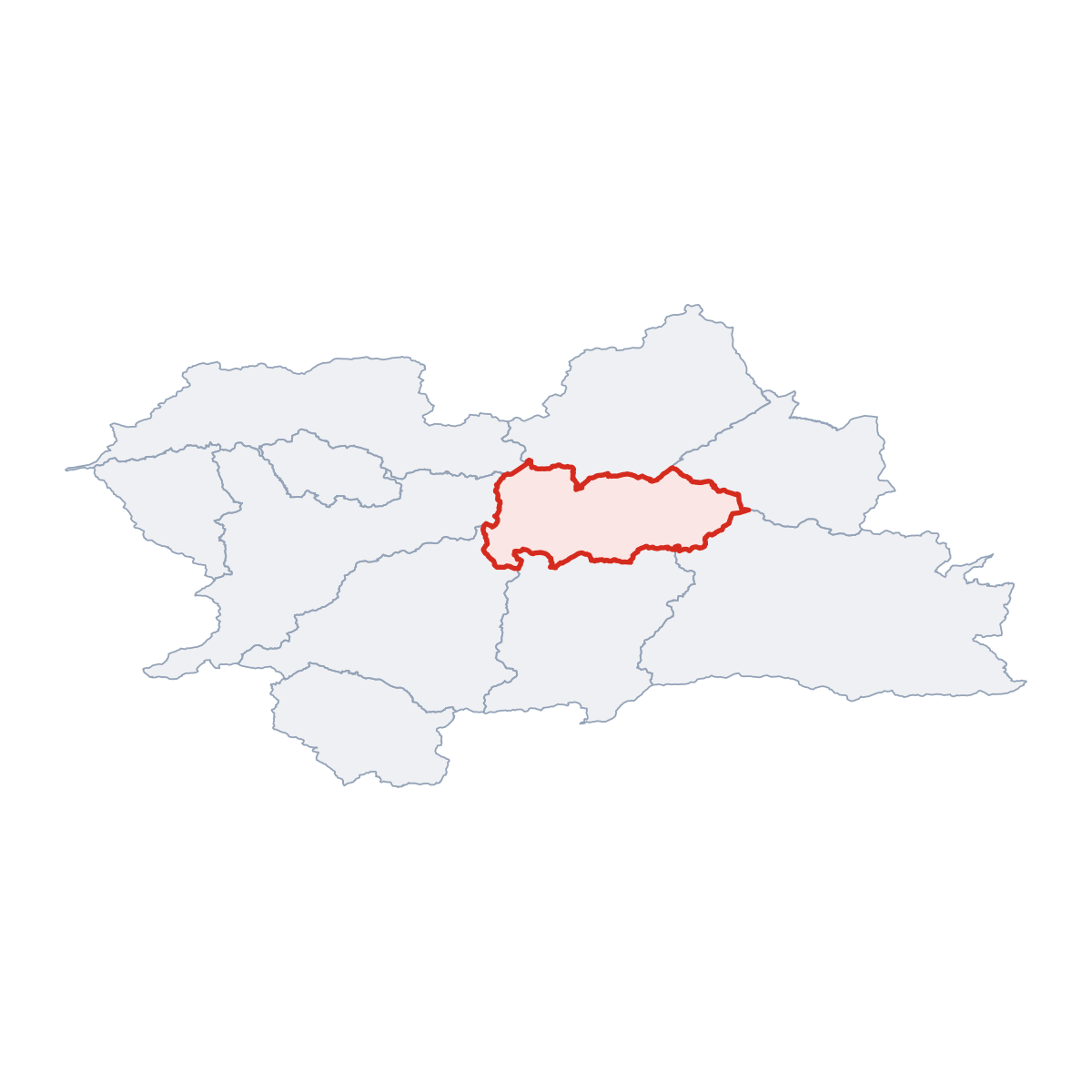
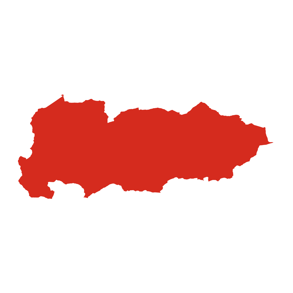
Municipalities
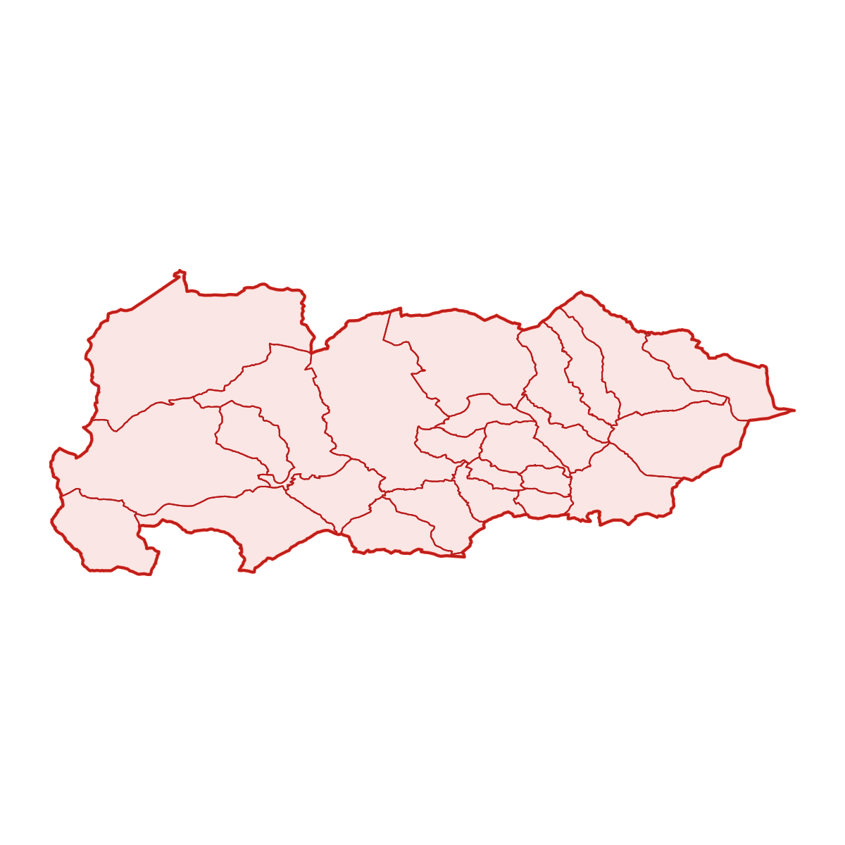
24 municipalitiesDistrict of Dolný Kubín is divided into 24 municipalities. The largest by area is Zázrivá (67 km²) and the smallest is Pokryváč (4 km²). Dolný Kubín has the highest building density, with 6 067 buildings.
| Municipality | Population | Area km² | Buildings | Postcodes | |
|---|---|---|---|---|---|
| Bziny | 535 | 6 | 378 | 1 | View → |
| Chlebnice | 1 594 | 25 | 1 087 | 2 | View → |
| Dlhá nad Oravou | 1 402 | 24 | 1 416 | 1 | View → |
| Dolný Kubín | 19 747 | 55 | 6 067 | 1 | View → |
| Horná Lehota | 528 | 15 | 368 | 1 | View → |
| Istebné | 1 411 | 11 | 843 | 2 | View → |
| Jasenová | 402 | 12 | 436 | 1 | View → |
| Kraľovany | 467 | 19 | 431 | 2 | View → |
| Krivá | 806 | 19 | 519 | 1 | View → |
| Leštiny | 235 | 7 | 221 | 1 | View → |
| Malatiná | 858 | 19 | 640 | 1 | View → |
| Medzibrodie nad Oravou | 456 | 7 | 394 | 1 | View → |
| Oravská Poruba | 938 | 13 | 873 | 1 | View → |
| Oravský Podzámok | 1 332 | 35 | 1 225 | 2 | View → |
| Osádka | 139 | 4 | 155 | 1 | View → |
| Pokryváč | 180 | 4 | 99 | - | View → |
| Pribiš | 467 | 8 | 355 | 1 | View → |
| Pucov | 739 | 10 | 455 | 1 | View → |
| Párnica | 752 | 52 | 769 | 1 | View → |
| Sedliacka Dubová | 507 | 12 | 463 | 1 | View → |
| Veličná | 894 | 29 | 1 274 | 1 | View → |
| Vyšný Kubín | 585 | 13 | 608 | 1 | View → |
| Zázrivá | 2 767 | 67 | 3 103 | 2 | View → |
| Žaškov | 1 694 | 25 | 1 386 | 2 | View → |
Postcodes
10 postcodesDistrict of Dolný Kubín has 10 postcode areas covering 2 727 km² with 61 891 buildings. District of Dolný Kubín uses 0 - postcodes in District of Dolný Kubín start with (this zone). The postcode with the most buildings is 02601 (Dolný Kubín) (4 993 buildings).
| # | Code / Name | Population | Area | Buildings | |
|---|---|---|---|---|---|
| 1 | 02601 | 23 992 | 177.65 km² | 4 993 | View → |
| 2 | 02755 | 4 309 | 80.12 km² | 849 | View → |
| 3 | 02705 | 2 767 | 67.27 km² | 1 452 | View → |
| 4 | 02754 | 1 832 | 42.57 km² | 808 | View → |
| 5 | 02721 | 1 694 | 24.72 km² | 619 | View → |
| 6 | 02741 | 1 531 | 23.72 km² | 210 | View → |
| 7 | 027 53 | 1 411 | 11.29 km² | 126 | View → |
| 8 | 027 41 | 796 | 35.26 km² | 19 | View → |
| 9 | 027 51 | 467 | 18.81 km² | 9 | View → |
| 10 | 026 01 | 456 | 6.58 km² | 1 | View → |
District of Dolný Kubín has 17 postal facilities 9 post offices, 2 letter boxes, 6 parcel lockers.
Transport
0 lines across 0 routesClick a route on the map to see details.
District of Dolný Kubín has a public transport network of 0 km with 0 transit lines and 0 routes.
Full transport overviewPopulation & Building Density
By municipalityHover over a municipality to see its density figures.
Municipality Rankings
Top & bottom by key metricsBy Population
By Area
By Buildings
By Pop. Density
| # | Municipality | Population | Area km² | Population & Building Density (res/km²) |
|---|---|---|---|---|
| 1 | Dolný Kubín | 19 747 | 55.0 km² | 359 |
| 2 | Istebné | 1 411 | 11.3 km² | 124 |
| 3 | Bziny | 535 | 5.8 km² | 92 |
| 4 | Pucov | 739 | 10.0 km² | 73 |
| 5 | Oravská Poruba | 938 | 13.3 km² | 70 |
| 6 | Medzibrodie nad Oravou | 456 | 6.6 km² | 69 |
| 7 | Žaškov | 1 694 | 24.7 km² | 68 |
| 8 | Chlebnice | 1 594 | 25.3 km² | 63 |
| 9 | Dlhá nad Oravou | 1 402 | 24.3 km² | 57 |
| 10 | Pribiš | 467 | 8.4 km² | 55 |
| 11 | Pokryváč | 180 | 3.9 km² | 46 |
| 12 | Vyšný Kubín | 585 | 12.7 km² | 46 |
| 13 | Malatiná | 858 | 19.1 km² | 44 |
| 14 | Sedliacka Dubová | 507 | 11.7 km² | 43 |
| 15 | Krivá | 806 | 18.9 km² | 42 |
| 16 | Zázrivá | 2 767 | 67.3 km² | 41 |
| 17 | Oravský Podzámok | 1 332 | 35.3 km² | 37 |
| 18 | Horná Lehota | 528 | 15.3 km² | 34 |
| 19 | Leštiny | 235 | 6.9 km² | 34 |
| 20 | Osádka | 139 | 4.1 km² | 33 |
| 21 | Jasenová | 402 | 11.9 km² | 33 |
| 22 | Veličná | 894 | 29.3 km² | 30 |
| 23 | Kraľovany | 467 | 18.8 km² | 24 |
| 24 | Párnica | 752 | 52.0 km² | 14 |
National Parks & Protected Areas
1 parks{district} is home to or borders {n} protected nature area{s}.
Frequently Asked Questions about District of Dolný Kubín
Quick answers about this municipalityWhat is the main town of District of Dolný Kubín?
The main town of District of Dolný Kubín is Dolný Kubín with a population of 19,747.
Which region is District of Dolný Kubín in?
District of Dolný Kubín is in the Region of Žilina region.
Is District of Dolný Kubín a municipality or a city?
District of Dolný Kubín is an administrative municipality in the Region of Žilina region. Its main town is Dolný Kubín.
How many people live in District of Dolný Kubín?
District of Dolný Kubín has a population of 39 435, with a density of 80 people per km².
How large is District of Dolný Kubín?
District of Dolný Kubín covers an area of 492 km² (190 sq mi).
How many municipalities are in District of Dolný Kubín?
District of Dolný Kubín is divided into 24 municipalities. These include: Zázrivá, Dolný Kubín, Párnica, Oravský Podzámok, Veličná, Chlebnice, Žaškov, Dlhá nad Oravou and 16 more.
What postcodes are in District of Dolný Kubín?
District of Dolný Kubín has 10 postcode areas with prefixs 0.
How many buildings are in District of Dolný Kubín?
District of Dolný Kubín contains 23 565 mapped buildings, a density of 48 per km².